Aspen

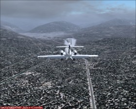
Aspen is a ski resort in Colorado, United States. The local airport, Aspen-Pitkin County Airport (KASE) 
 , is located in a mountainous terrain which makes takeoffs and landings challenging.
The airport elevation is 7800 ft. The single runway 15-33 is 7000x100 ft and must only be served by aircrafts with a wing span smaller than 96 ft and only at daytime. Rwy 15 is the preferred runway for landings and rwy 33 for takeoffs, especially because rwy 15 is uphill by 2% in real-world.
There is three instrument approaches:
- VOR/DME or GPS is offset 16° from rwy 15 with a final glide slope of 9.7°.
- LOC/DME is straight-in to rwy 15 with a final glide slope of 6.6°. The navaid is missing in the simulator, so you need to download kaseloc.zip or aspen_approach_with_wx.zip from AVSIM.
- Roaring Fork Visual Rwy 15 has 7 different visual routes to the airport.
Try also a missed approach where you intercept a localizer on back course. Actucally this is the only purpose of this localizer.